
-
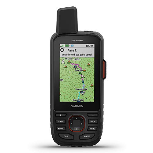
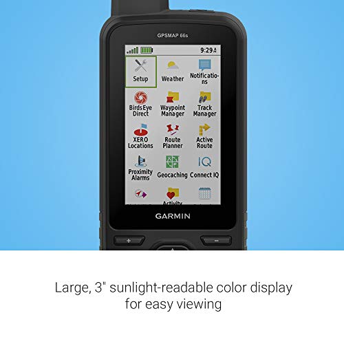
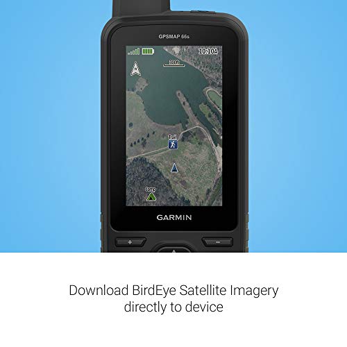
Large 3 inch Sunlight-readable color display for easy viewing
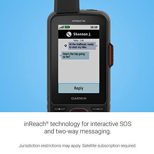
Trigger an interactive SOS to the geos 24/7 search and rescue monitoring center, two-way messaging via the 100% Global Iridium satellite network (satellite subscription required)
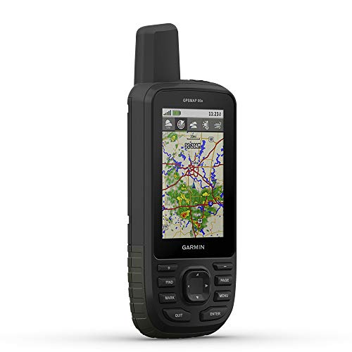
Preloaded Garmin TOPO mapping with direct-to-device Birdseye satellite imagery downloads (no annual subscription), includes multiple global navigation satellite systems (GNSS) support and navigation sensors$519.99 -
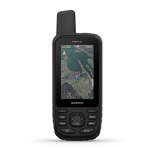
Premium GPS handheld with BirdsEye Satellite Imagery subscription
Large, 3” sunlight-readable color display for easy viewing
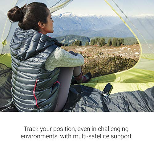
Multiple Global Navigation Satellite Systems (GNSS) support to track your travels in more challenging environments than GPS alone plus three-axis compass and barometric altimeter$464.02 -

Large 3” sunlight-readable color display for easy viewing
Enable two-way messaging and location tracking via the 100% global Iridium satellite network, and trigger an interactive SOS to Garmin Response℠, a 24/7 staffed emergency response coordination center (active subscription required; some jurisdictions regulate or prohibit the use of satellite communications devices)
Access preloaded TopoActive mapping from Garmin, view satellite imagery, and navigate with multi-band GNSS support and sensors$779.99Product Dimensions : 2.5 x 6.4 x 1.4 inchesItem Weight : 8.1 ouncesItem model number : 010-02812-00Batteries : 1 Lithium Ion batteries required. (included)Wireless communication technologies : BluetoothConnectivity technologies : Bluetooth, USBSpecial features : BluetoothOther display features : WirelessHuman Interface Input : ButtonsColor : Black-Flame RedWhats in the box : GPSMAP 67 or GPSMAP 67i handheld device, type-A to type-C USB cable, carabiner clip, documentationDepartment : mensManufacturer : GarminCountry of Origin : TaiwanDate First Available : March 14, 2023Brand : Visit the Garmin Store -
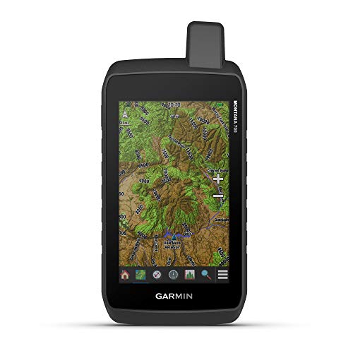
Rugged construction is rated to MIL-STD 810 for thermal, shock, water and vibration
5” glove-friendly touchscreen display (50% larger than the previous model) offers easy viewability; available with versatile mounting options
Multi-GNSS (GPS, GLONASS and Galileo) support — plus preloaded TopoActive maps; outdoor navigation sensors include 3-axis compass and barometric altimeter$779.99 -

Extra-large 10” RV navigator offers a bright, high-resolution touchscreen to easily view your route in landscape or portrait mode and map updates of North America that include the U.S., Mexico, Canada, Puerto Rico, U.S. Virgin Islands, Cayman Islands and Bahamas
Find the best roads for your RV with custom routing for the size and weight of your RV or trailer (not available in all areas; always defer to posted road signs and road conditions)
Access a preloaded directory of RV parks and services, Tripadvisor traveler ratings and content from Ultimate Public Campgrounds, KOA, U.S. national parks directory, PlanRV and millions of new and popular points of interest from Foursquare$1,169.99 -
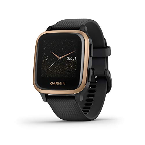
Fits wrists with a circumference of 125-190 mm
Get an uninterrupted picture of your health with up to 6 days of battery life in smartwatch mode
Go longer with up to 6 hours of battery life in GPS mode with music$324.99 -

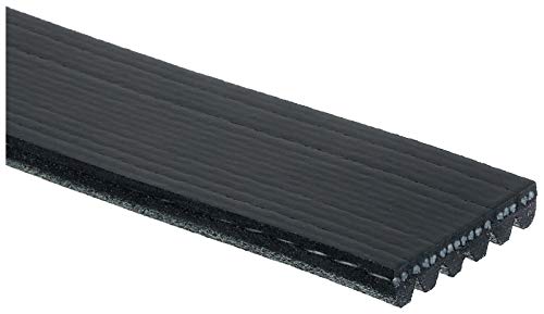
Special belt construction eliminates belt noise, reduces tension loss and solves problem drive applications
EPDM rubber constructions resist cracking on the rib surface
Meets or exceeds all specifications from the Original Equipment Manufacturer$31.06 -

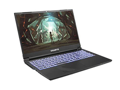
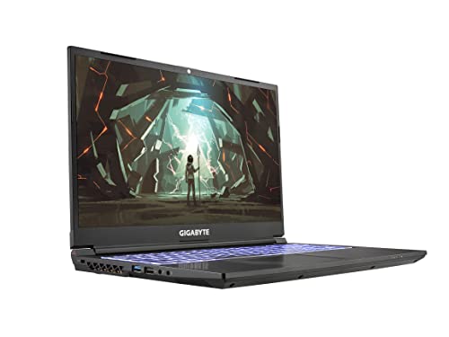
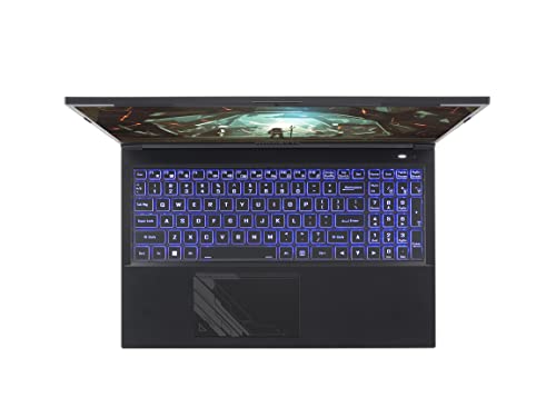
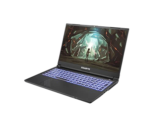
NVIDIA GeForce RTX 40 Series: NVIDIA GeForce RTX 4060 Laptop GPU
Intel 12th Gen Ready: 12th Gen Intel Core i5-12500H Processor 4.5 GHz
DDR4 3200 8GB1 (8GB), 512G Storage (Gen4 M.2 SSD)$1,142.70 -

100% Cotton
Imported$14.29 -

Apply onto clean, dry skin.
This item is not sold to Catalina Island.
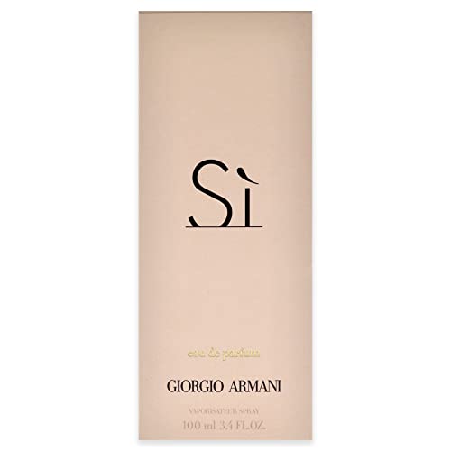
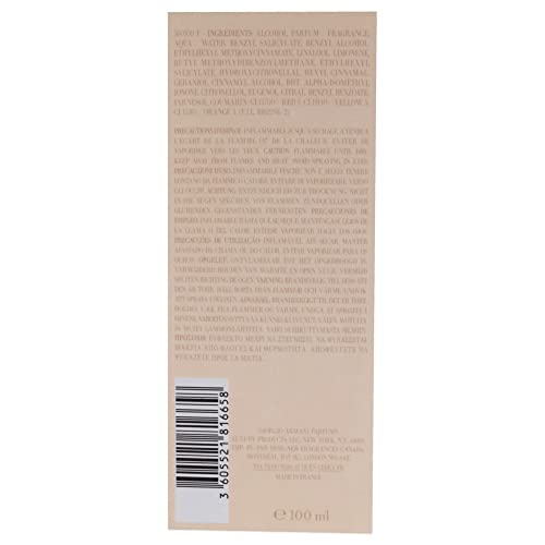
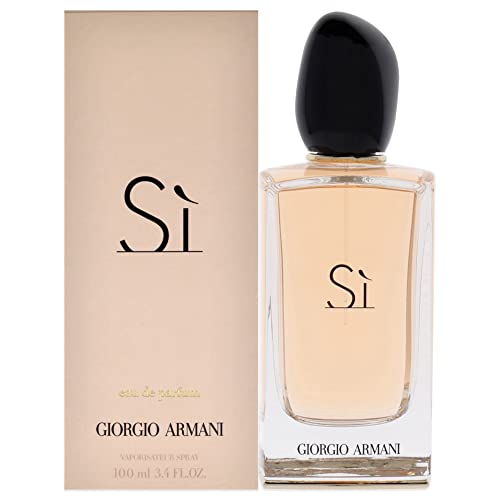
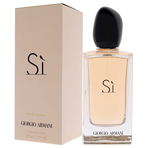
Armani Si Eau De Parfum Spray 3.4 oz/100 Ml for Women$122.19 -

✅A Premium, Long-Lasting Oriental Fragrance Captured In A Classy 100Ml Bottle.
✅A Unisex Perfume Perfect For Both Daywear And Evening.
✅Best-In-Class Quality, Matching International Standards.$54.59 -
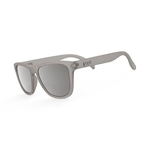
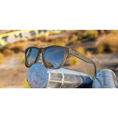
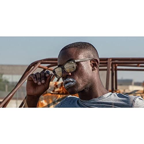
Polycarbonate lens
Polarized
Bridge: 18 millimeters$42.61